Vertical Tabs
Magwe State

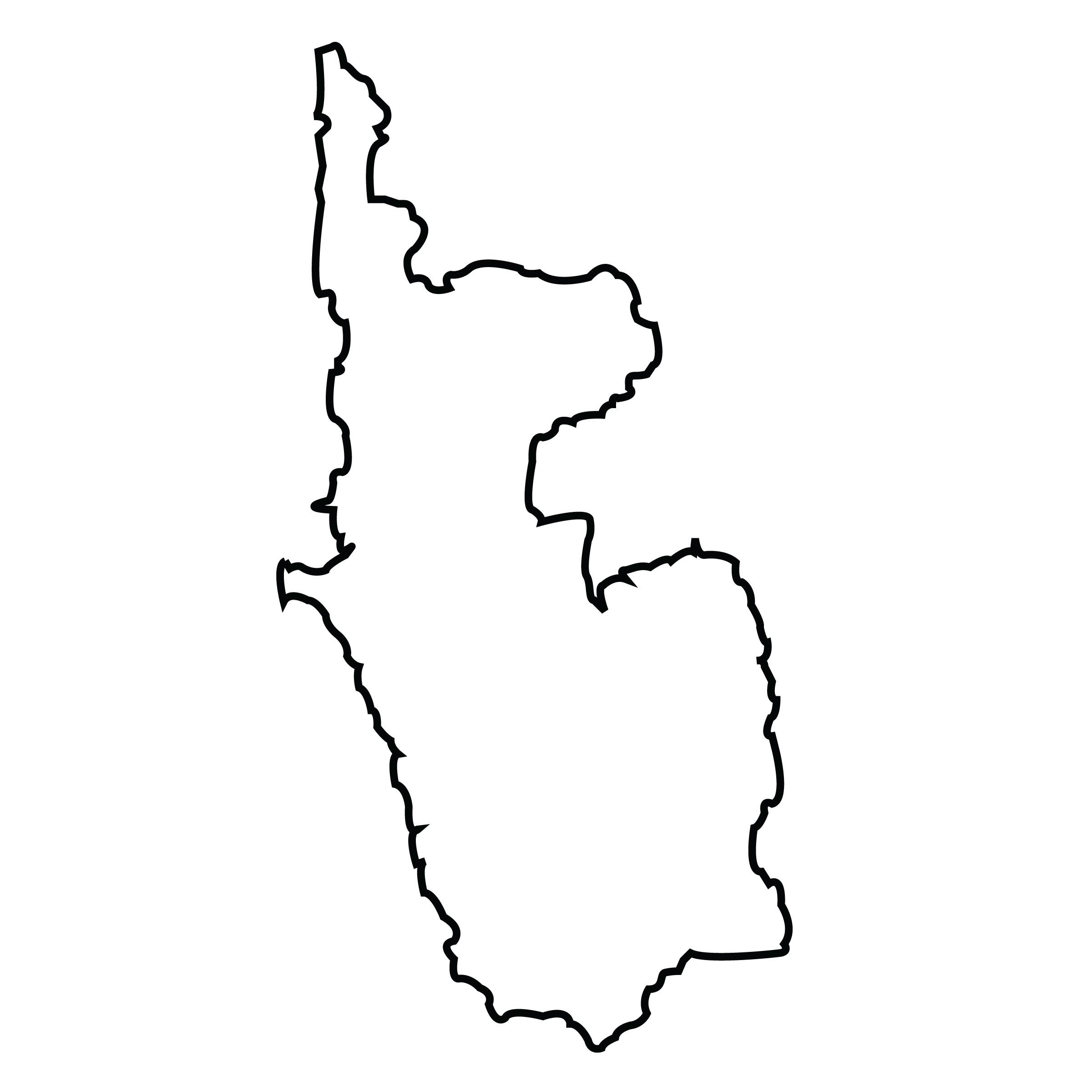
Magwe Region, formerly Magwe Division is an administrative division in central Myanmar. Magwe Region is the largest of Myanmar's seven divisions, with an area of 17,306 square miles (44,820 km2). It is bordered by Sagaing Region to the north, Mandalay Region to the east, Bago Region to the south, and Rakhine State and Chin State to the west. Magwe Region is made up of the districts of Magwe, Minbu, Thayet, Pakokku and Gangaw comprising 25 townships and 1,696 ward village-tracts. The capital is the city of Magwe (1994 population estimated at 300,000). Other major towns are Pakokku and Minbu.
The population of Magwe Region is 3,912,711 in 2014. Over 95% the people are Bamar, with very small numbers of minorities such as Chin, Rakhine, Karen, Shan, and others, including a tiny Anglo-Burmese population. During colonial times, this part of Burma had a large Anglo-Burmese population, descended from Western oil workers and their Burmese partners. Approximately 98% of the population is Buddhist. The Irrawaddy River is the major transportation system in Magway Region, both in terms of volume of goods and population served. Most major towns in the region are river ports on the Irrawaddy; among them are Magwe, Pakokku, Minbu, Yenangyaung, Chauk, Allanmyo, and Thayetmyo.
The principal product of Magwe Region is petroleum. It produces most of the oil and natural gas in Burma. The following oil fields are located in the Magwe Region: the Mann, Yenangyaung, Chauk, Kyauk-khwet, Letpando and Ayadaw oil fileds. Agriculture is also important. The major crops are sesamum and groundnut. Other crops grown are rice, millet, maize, sunflower, beans and pulses, tobacco, toddy, chili, onions, and potatoes. Famous products of Magwe Region include: Thanaka (Limonia acidissima) and Phangar (Chebulic myorobalan) fruit.Magwe has almost no tourist industry. According to official statistics, Magwe Region had 3859 schools of which only 70 were high schools. Only about 10% of the division's primary school students reach high school. Fort Min Hla and Fort Kway Chaung: Two late Konbaung era forts built to resist a British invasion. One is Fort Minhla, situated inside the town of Minhla. Fort Kway Chaung is located at opposite bank of Irrawaddy river.
See how the Mary K. Yap Foundation is supporting programs like the "Myanmar Orphans" Project ....Learn more >
Copyright © 2014 - 2026 Mary K. Yap Foundation Inc. All rights reserved.
Designed by WTCMM
Languages
- English

- myanmar


